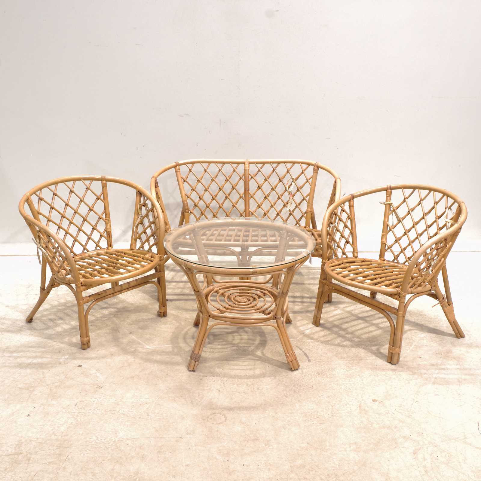
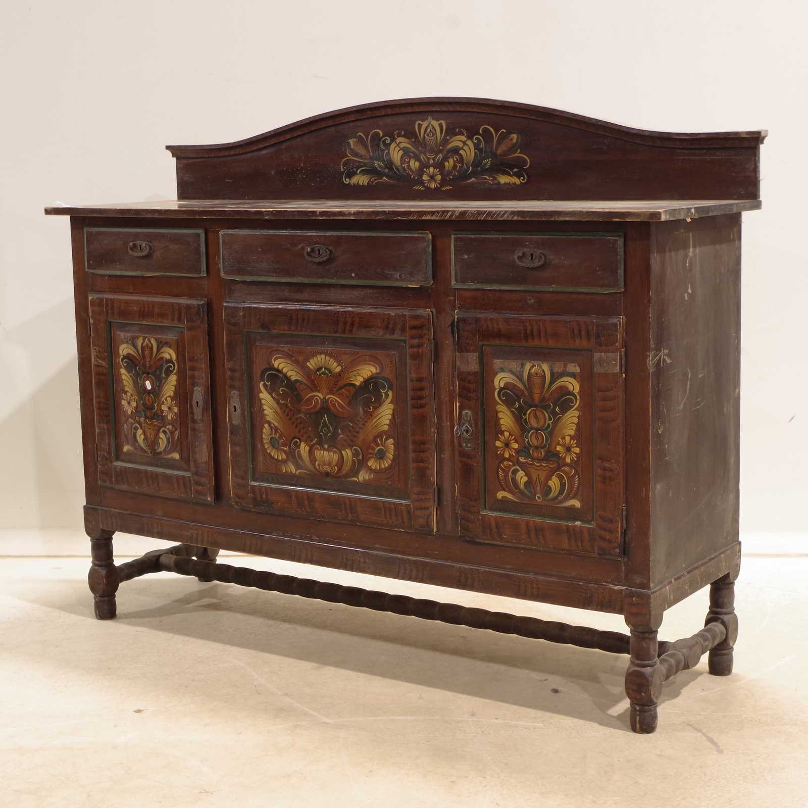
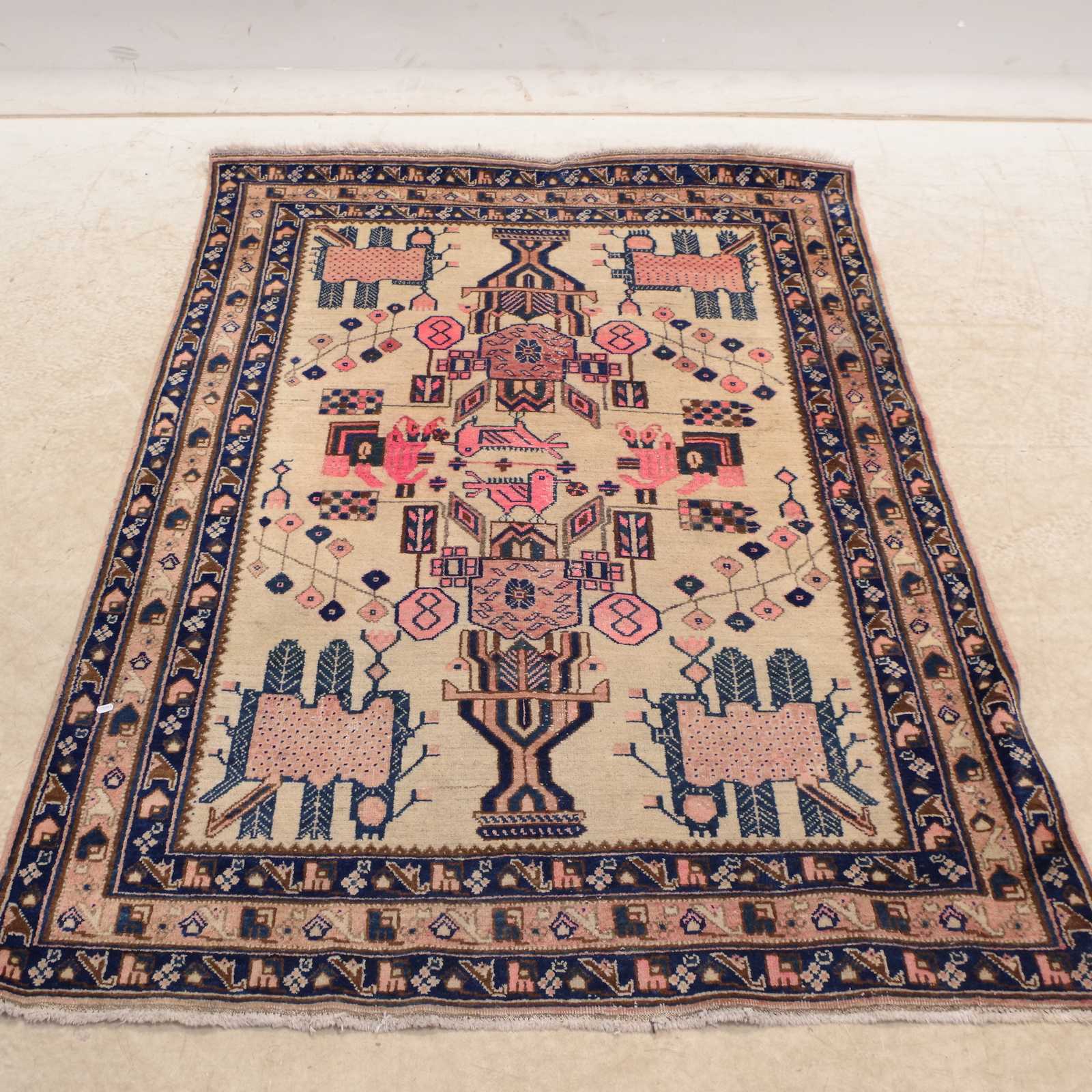
Auktioner
Bilder Frederik de Wit (1629–1706) – Map of Clivia Ducatus and the Counties of Mark and Ravensberg – Copperplate Engraving (Late 17th Century)


Beskrivning
This finely engraved map by Frederik de Wit presents the Duchy of Cleves (Clivia Ducatus), the County of Mark, and the County of Ravensberg, regions in the Holy Roman Empire located near present-day western Germany and the Netherlands. The map illustrates detailed geographic and political boundaries, rivers, settlements, forests, and topographic features. A large baroque cartouche in the bottom left corner is flanked by putti and heraldic emblems, enhancing its decorative appeal.
Frederik de Wit was one of the foremost cartographers and publishers of the Dutch Golden Age. His Amsterdam-based workshop produced highly sought-after atlases and wall maps. De Wit was known for his precise rendering of political borders and artistic composition, helping shape the visual and geographic understanding of Europe in the 17th century.
Artist or Maker:
Frederik de Wit
Dimensions:
Approx. 57 cm x 48 cm
Medium:
Copperplate Engraving
Date:
Late 17th Century
Condition Report:
This work is in good condition overall. There may be a few minor imperfections or fox or mottled marks to be expected with age. Please review the images carefully for condition details, and feel free to contact us with any questions or for a comprehensive condition report.
Product options
Liknande objekt
Högsta bud
60 SEK