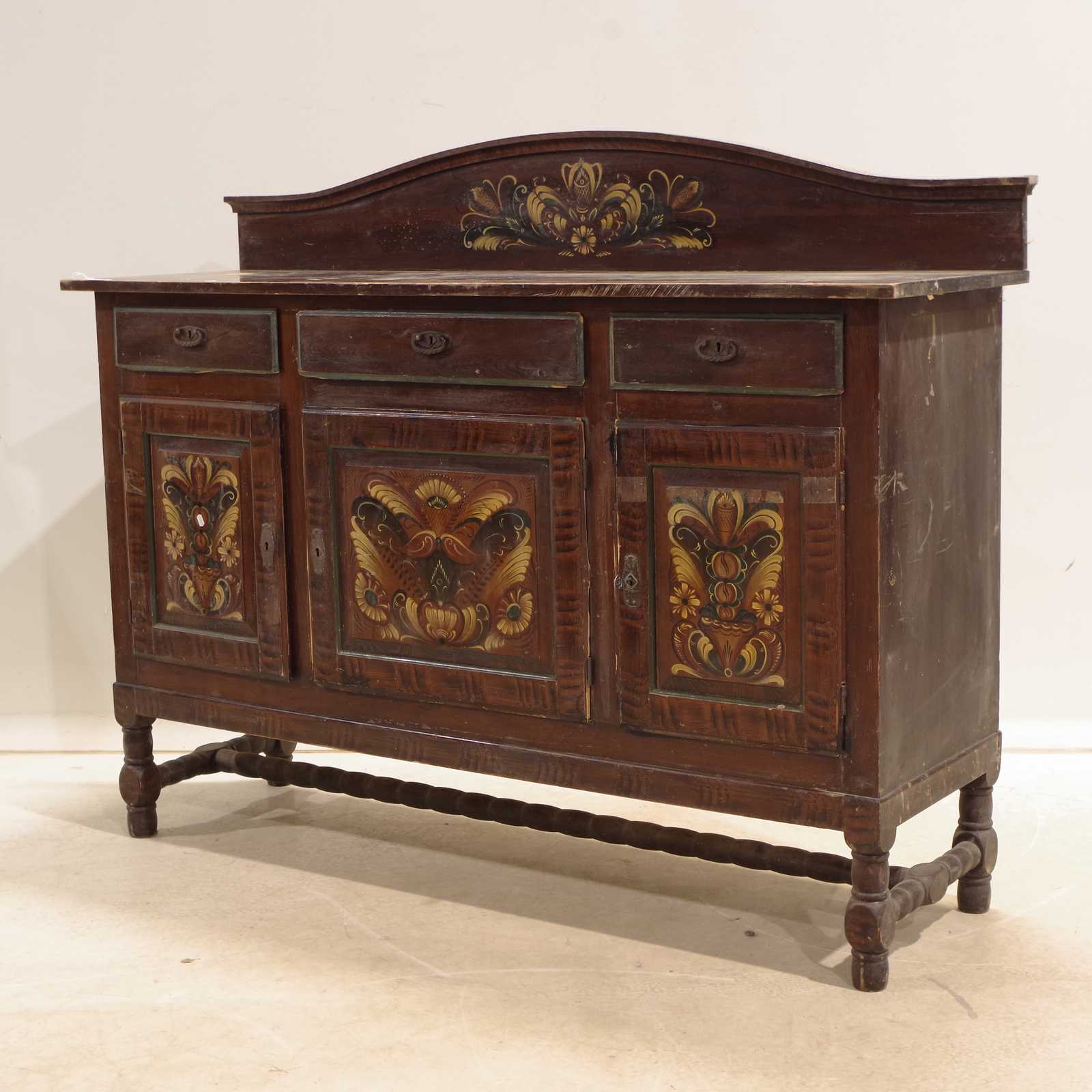
Auktioner
Bilder Jean Baptiste Bourguignon d'Anville (1697–1782) – Map of the British Isles / Les Isles Britanniques – Hand-Colored Copperplate Engraving (c. 1775)


Beskrivning
This detailed map titled Les Isles Britanniques shows England, Scotland, Ireland, and surrounding islands with intricate detail and geographic precision typical of d'Anville's work. The map features a beautiful decorative cartouche adorned with sea birds and classical figures, reflecting the elegance of 18th-century French cartography.
Jean Baptiste Bourguignon d'Anville was a renowned French cartographer celebrated for his rigorous scientific approach and dedication to accuracy, often revising traditional geographical knowledge with contemporary data. His maps greatly influenced European understanding of world geography during the Enlightenment.
Artist or Maker:
Jean Baptiste Bourguignon d'Anville
Dimensions:
Approx. 49 cm x 37 cm
Medium:
Hand-Colored Copperplate Engraving
Date:
circa 1775
Condition Report:
This work is in good condition overall. There may be a few minor imperfections or fox or mottled marks to be expected with age. Please review the images carefully for condition details, and feel free to contact us with any questions or for a comprehensive condition report.
Product options
Liknande objekt
Högsta bud
60 SEK