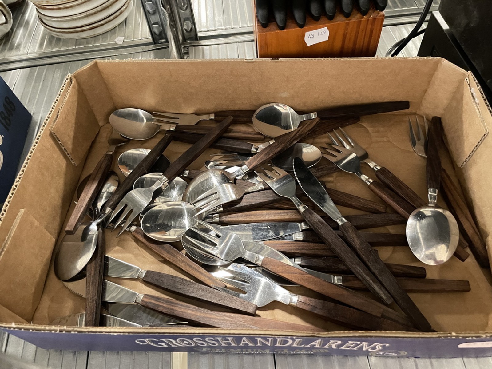
Auktioner
Bilder Georges-Louis Le Rouge (c. 1712–c. 1790) – Map of Poland / La Pologne – Engraving, Hand-Coloured (Circa 1748–1756)


Beskrivning
This map is a geographical chart detailing Poland, known as La Pologne, which, at the time, encompassed the vast territory of the Polish-Lithuanian Commonwealth. The map displays the kingdom's historical and political boundaries, with internal divisions labeled Grande Pologne (Greater Poland) and Petite Pologne (Lesser Poland). It also depicts surrounding regions, including the Black Sea (Mer Noire) and parts of Sweden (Suede) and Hungary (Hongrie). The boundaries are highlighted with contemporary outline hand-colouring. The cartouche confirms the publication details: A Paris. Chez Le Rouge.
Georges-Louis Le Rouge was a German-born French military engineer and cartographer who served as the Geographical Engineer to the King (Ingénieur Géographe du Roi). Active in Paris from the 1740s, he specialized in compiling and publishing highly detailed maps and atlases, often incorporating the latest geographical knowledge into works such as the Nouvel Atlas Portatif (1748) and the Introduction à la Géographie (1756).
Artist or Maker: Georges-Louis Le Rouge
Dimensions: Approximately 30 × 22 cm
Medium: Engraving, Hand-Coloured
Date: Circa 1748–1756
Condition Report:
This work is in good condition overall. There may be a few minor imperfections or fox or mottled marks to be expected with age. Please review the images carefully for condition details, and feel free to contact us with any questions or for a comprehensive condition report.